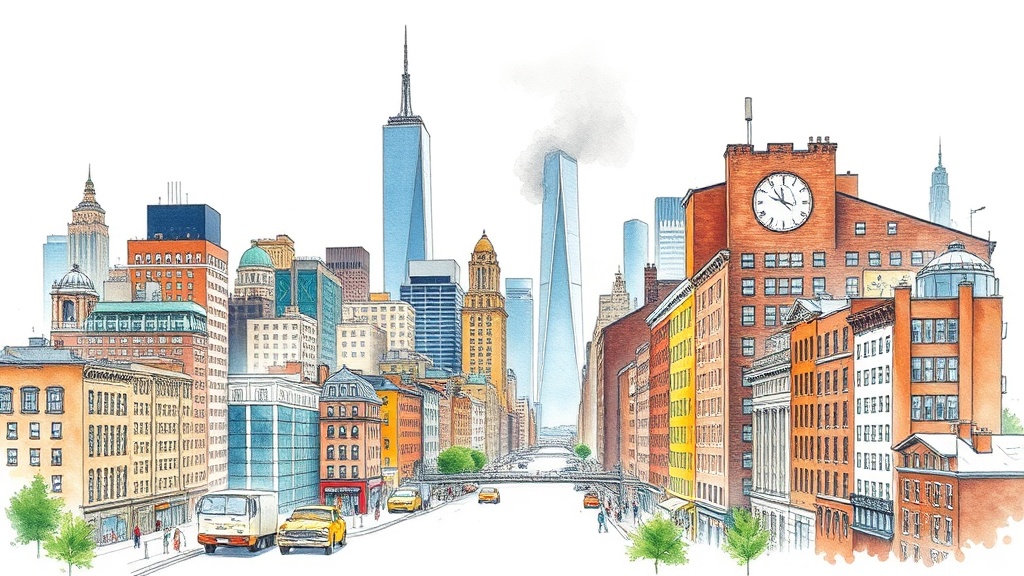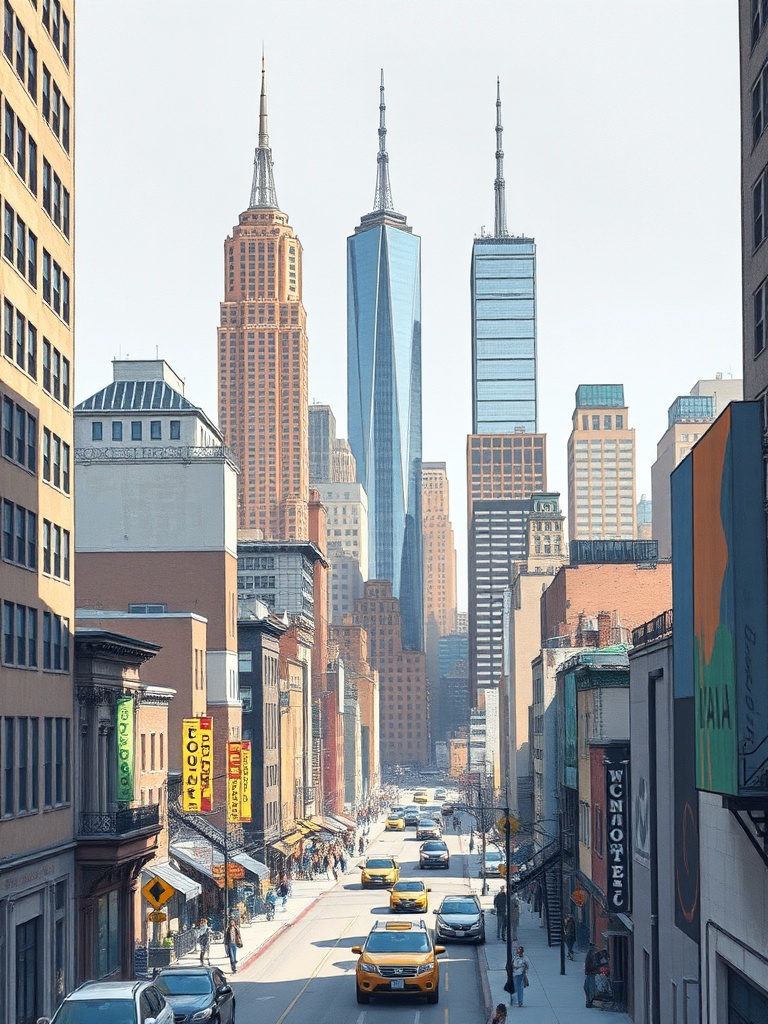
New York City has been quietly transforming the way people move and spend time outdoors.
Between expanding pedestrian plazas, continuous waterfront paths, and a maturing bike-share network, the city now offers dozens of car-free ways to experience its neighborhoods. Whether a local seeking a new weekend routine or a visitor planning a walking-first itinerary, these routes and tips make getting around without a car simple, scenic, and safer.
Why choose pedestrian and bike routes?
– Faster for short trips: In dense neighborhoods, walking or biking often beat driving or rideshares during busy periods.
– Better access to small businesses: Many of the city’s best cafés, shops, and parks sit on or near pedestrian-priority streets and waterfronts.
– Health and leisure: Moving at human speed reveals architecture, public art, and waterfront views missed from a car.
Top car-free corridors and green spaces to try
– The High Line: A leafy elevated promenade built on a former rail line, lined with art installations and neighborhood views. Best for a relaxed stroll and easy access to Chelsea and the Meatpacking District.
– Hudson River Park & Manhattan Waterfront Greenway: Continuous paths along the west side offer long, mostly car-free stretches ideal for bike rides, runs, and sunset walks. Multiple piers, lawns, and sports facilities punctuate the route.
– Brooklyn Bridge Park: Expansive lawns, piers, and pathways along the East River make this a great family and picnic destination with skyline views.
– East River Esplanade: Connects neighborhoods from lower Manhattan up toward midtown, with quieter stretches and good river vistas.
– Governors Island and Roosevelt Island: Short ferry rides lead to islands with dedicated pedestrian and cycling routes—perfect for a day trip without the bustle of the city.
– Neighborhood pedestrian plazas: Small plazas and widened sidewalks in neighborhoods like Times Square, DUMBO, and parts of Queens invite dining and people-watching.
Getting around: practical tips
– Learn the etiquette: On shared paths, keep right, pass on the left, and use a bell or voice to signal when approaching. Slower travelers should allow faster cyclists to pass.
– Use bike-share and micromobility options: Dockless scooters, e-bikes, and bike-share stations fill gaps between transit hubs and parks. Check app availability and local rules before riding.
– Layer your route: Combine subway or ferry segments with walking or cycling to cover longer distances efficiently. Many ferries accommodate bikes.
– Stay visible and legal: Wear lights when riding at dawn, dusk, or night.

Follow traffic signals on streets—bike lanes do not remove the need to obey lights and signs.
– Keep essentials handy: Water, a compact lock, and a portable charger for maps will make multi-stop days smoother.
Safety and comfort
– Choose protected bike lanes for safer trips when available.
Many neighborhoods now have concrete-separated lanes that reduce interactions with cars.
– Avoid crowded sidewalks on busier promenades; use designated bike routes.
– Check for closures: Temporary construction or events can close segments of greenways and plazas. City and local community sites post updates frequently.
Walking and cycling have become central to how people experience New York City. Exploring by foot or bike not only cuts travel stress but unlocks quieter vistas, neighborhood favorites, and a deeper connection to the city’s public spaces. Try a new route this weekend and discover how car-free travel reshapes the familiar.